As the confetti settles and the calendar flips to 2026, much of the U.S. is set to receive a less-than-gentle weather welcome: a sprawling winter storm system will likely deliver a grab bag of snow, ice, thunderstorms and a sharp blast of cold air just about everywhere.
Meteorologists say the culprit is an intense cyclone sweeping east from the Plains, pulling in frigid air from Canada and clashing with lingering warmth across the South. The result is a coast-to-coast weather mashup, with very different (and sometimes dangerous) conditions depending on where you are.
“Part of the storm system is getting heavy snow, other parts of the storm along the cold front are getting higher winds and much colder temperatures as the front passes,” said Bob Oravec, a lead forecaster at the National Weather Service office in College Park, Maryland, to ABC News. “They’re all related to each other—different parts of the country will be receiving different effects from this storm.”
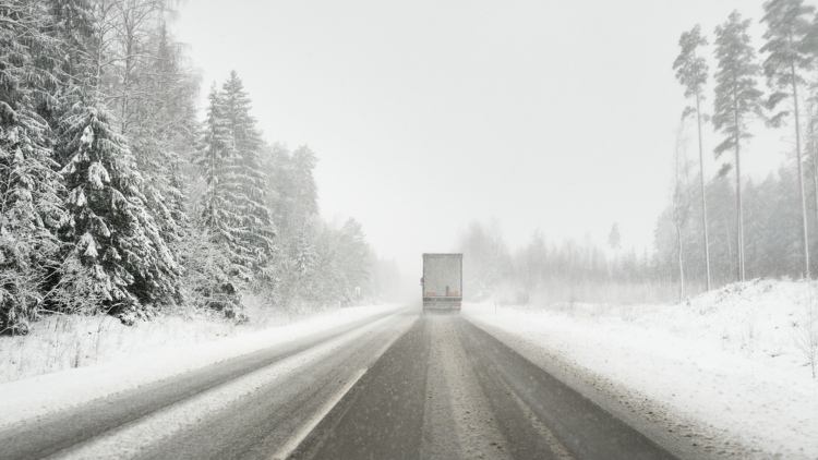
The Upper Midwest and Great Lakes are taking the brunt of it, though. Heavy snow and strengthening winds are expected to create whiteout conditions in parts of Minnesota, Wisconsin and Michigan, with snowfall totals topping a foot in some areas and pushing toward two feet along the south shore of Lake Superior. Forecasters are also warning of blizzard-like conditions and massive waves on the Great Lakes, with waves on Lake Superior potentially exceeding 25 feet. Dangerous wind chills could dip to minus 30 degrees Fahrenheit in parts of North Dakota and Minnesota, making outdoor exposure risky even for short periods.
Meanwhile, New England and parts of the Northeast are dealing with a slipperier problem: freezing rain and ice. Even a thin glaze can quickly turn roads and sidewalks into skating rinks, increasing the risk of crashes, falls and power outages as ice weighs down trees and power lines. Areas north and west of major cities like New York and Boston are especially vulnerable to icy conditions, while the busy I-95 corridor is more likely to see cold rain than snow.
Farther south, the storm is arriving with thunder instead of snowflakes. A sharp cold front, sometimes called a “Blue Norther,” is triggering severe thunderstorms from the Ozarks to the Ohio Valley, with the potential for damaging winds, heavy downpours and hail. Those storms are expected to usher in a dramatic temperature drop across the South. Cities that were flirting with record highs just days ago are now bracing for overnight lows well below freezing by early in the new year.
Travel disruptions are already stacking up. Snow and ice have led to flight delays and cancellations across the Great Lakes and Northeast and forecasters warn that conditions could remain dicey through the busy New Year’s travel window as back-to-back storms move through and Arctic air settles in.
Keep an eye on forecasts, build in extra travel time and maybe rethink those celebratory outdoor plans: 2026 is arriving with a serious chill.

